Mapping & GIS
See your system, services, and opportunities from a new perspective.
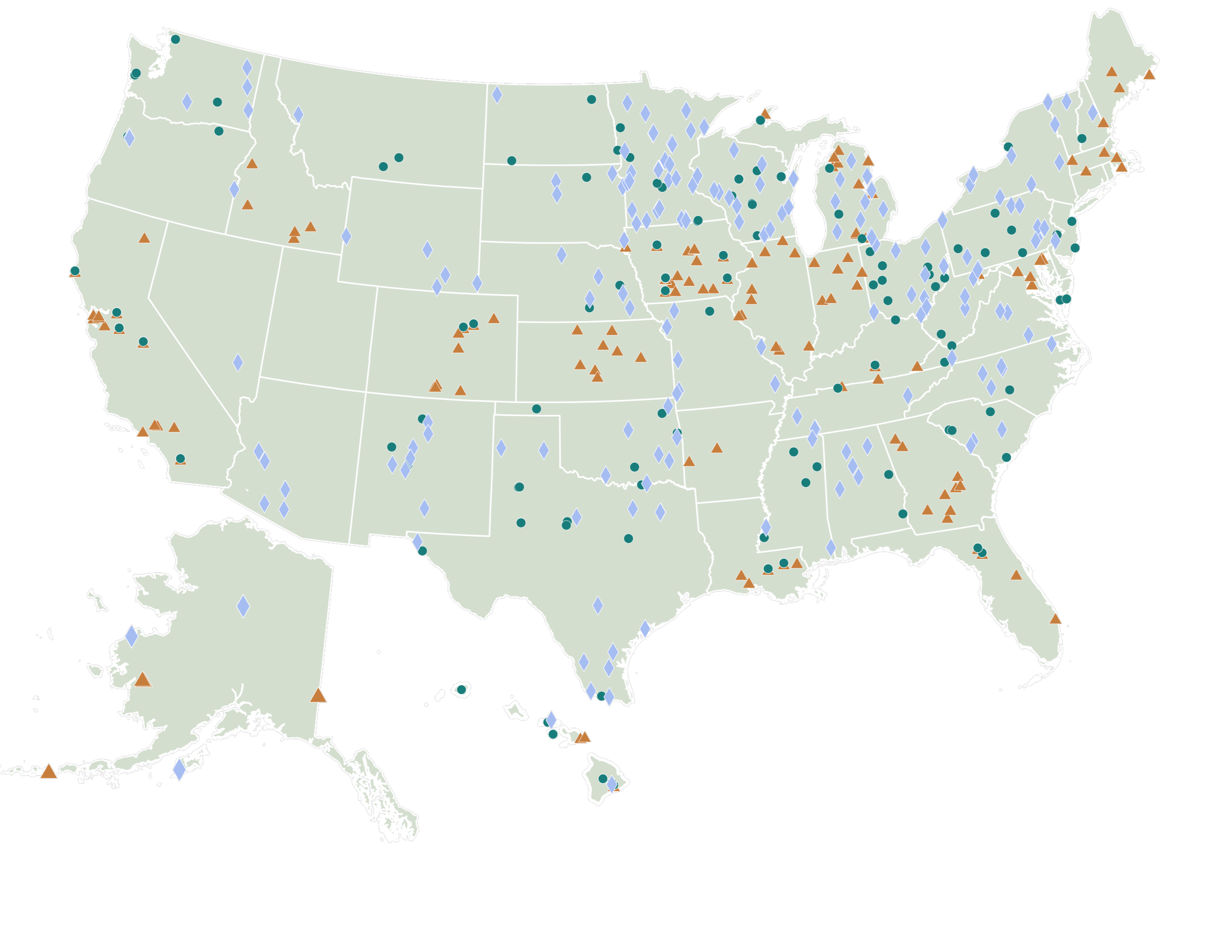
We use geographic information systems (GIS) and spatial analysis to reveal relationships that traditional data analysis may not show.
RRS has a dedicated team of GIS professionals who help clients understand how materials, infrastructure, services, and communities connect geographically. We combine mapping expertise with deep knowledge of recycling, solid waste, organics, and circular economy systems to turn geographic information into practical insights.
From evaluating collection access and facility locations to understanding material flows and regional infrastructure networks, we use GIS to help clients visualize current conditions, identify gaps, compare options, and make more informed planning decisions.

Our mapping team turns geographic data into tools for analysis, planning, and communication.
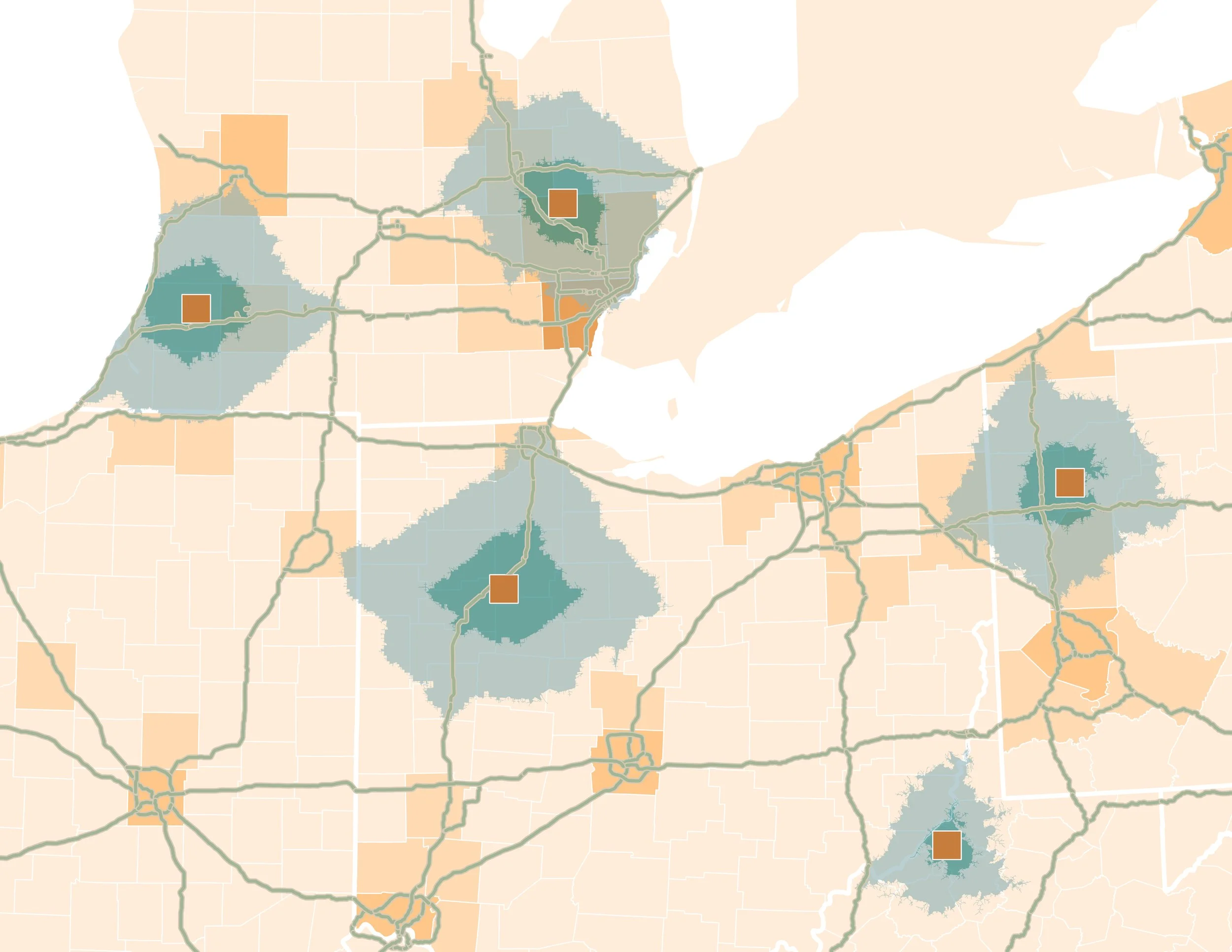
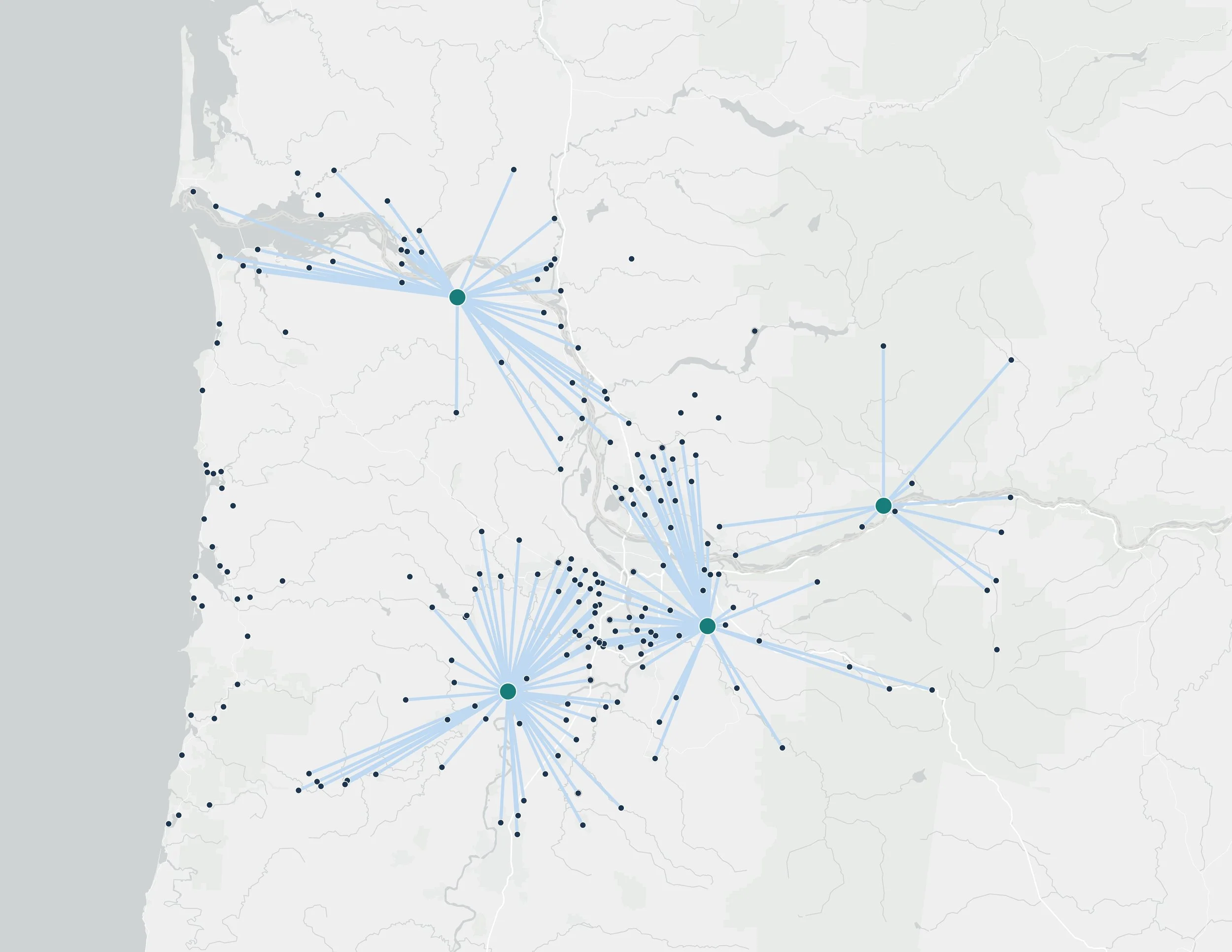
RRS uses GIS to map infrastructure, evaluate service areas, analyze solid waste networks and source-to-destination proximity, and understand how hub-and-spoke systems work together.
Our team can conduct spatial and network analysis to explore questions such as where services are available, where infrastructure gaps exist, how far materials must travel, which facilities can serve particular populations or generators, and where new infrastructure or services may have the greatest impact.
We also develop maps that make complex findings easier to communicate. Depending on the project, that may include static maps for reports, presentations, and infographics or interactive maps and applications that allow clients and stakeholders to explore geographic information themselves.
Whether the need is a focused visualization or comprehensive GIS analysis, RRS delivers clear, practical mapping solutions designed to support real-world decisions.